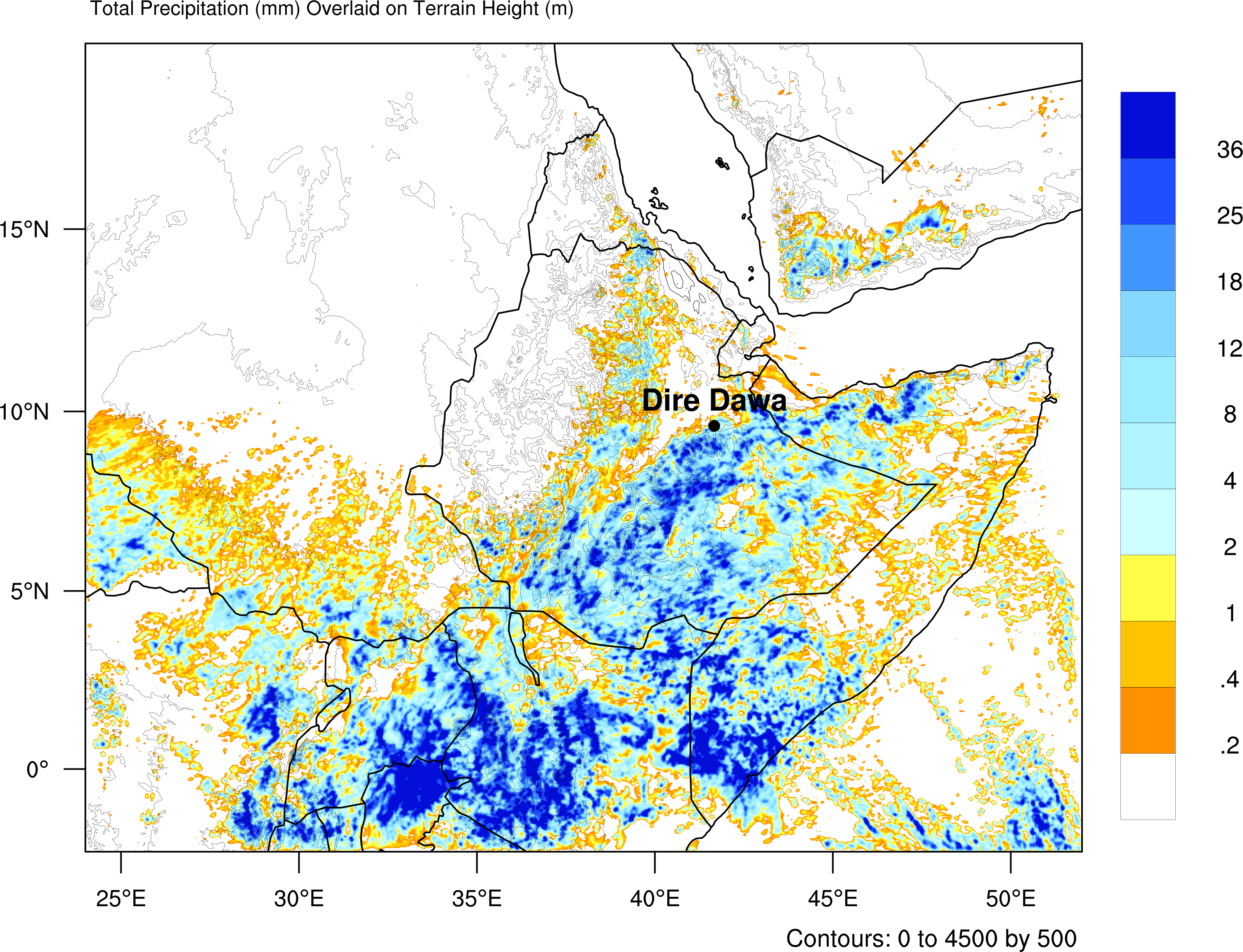
The regional and local weather and climate in many regions are influenced or even significantly determined by the interactions between the atmosphere and the heterogeneous land surface. This is particularly true in the development of extreme events such as droughts, heatwaves, and heavy rainfall. Regional climate models with grid resolutions of less than 4 km are now being applied, meaning that deep convection is no longer parameterized. As a result, local exchange processes between the ground, vegetation, and atmospheric boundary layer, as well as the development of turbulence parameterizations, gain importance. Our modelling aims include:
· Quantifying the energy and water fluxes and gaining a better understanding of the land surface - atmosphere system, especially in agricultural landscapes.
· Investigating the processes and their parameterizations in the atmospheric boundary layer depending on the land surface and synoptic conditions.
· Exploring the role of the land surface in the occurrence of extreme events.
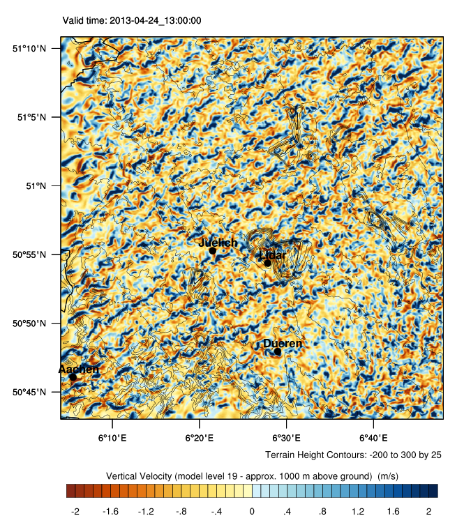
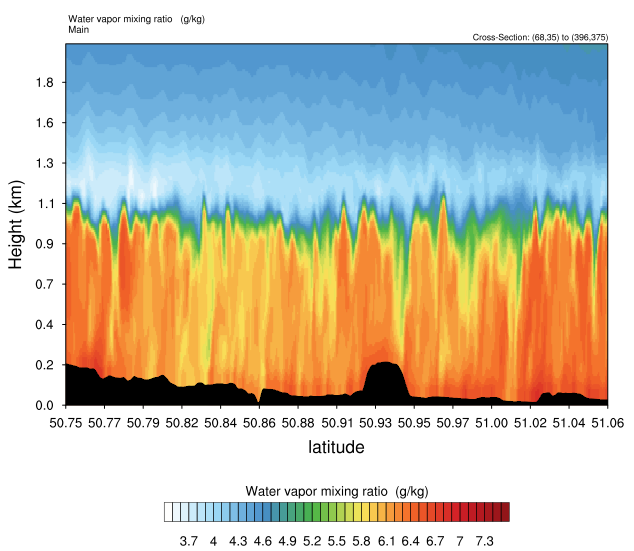
We conduct our model simulations using the Weather Research and Forecasting (WRF) model in combination with the included land surface model Noah-MP at the High-Performance Computing Center Stuttgart (HLRS) (Fig.1). For study areas with a significant proportion of agricultural landscapes, we coupled this model system with the crop growth model for field crops, Gecros. We demonstrated the significance of such a dynamic crop growth model for the processes in the atmospheric boundary layer for Germany. We usually run WRF with a horizontal resolution of 1-3 km. Higher model resolution is required for process studies and model development, such as investigating the planetary boundary layer, with turbulence-resolving simulations having a resolution of 50-100 m. For selected studies, variational data assimilation is also used, mostly a 3DVAR combined with an ensemble Kalman filter and a rapid update cycle.
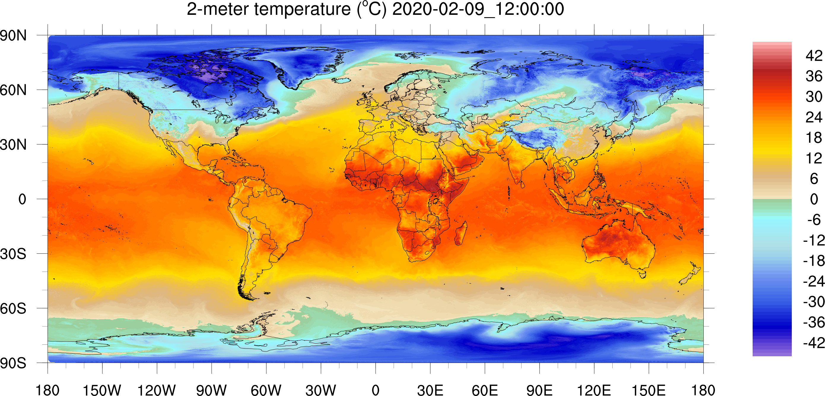
Subseasonal simulations on a global scale are carried out in the Earth System Modeling research group with a resolution of 1.5 to 3 km using the Model for Prediction Across Scales (MPAS). MPAS is based on the WRF model in terms of numerics and model physics but has a special model grid consisting of pentagons and hexagons. The advantage over previously used regular grids is that the grid area is nearly equal everywhere, allowing for seamless refinement of the horizontal model resolution.However, the resulting data volumes in the range of more than 100 TB pose a challenge even on current HPC systems.
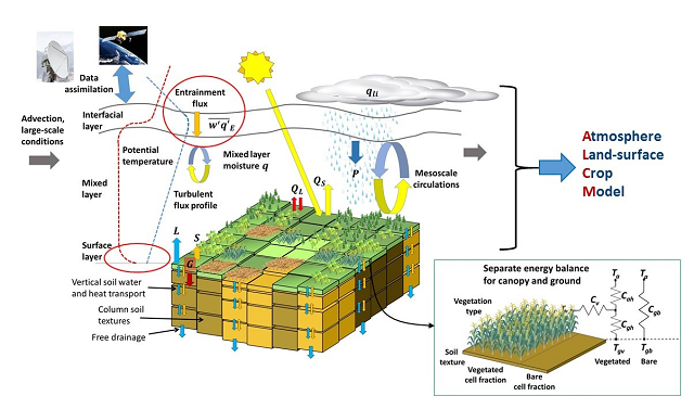
Fig.1: The WRF-Noah-MP-Gecros Model: The land surface model Noah-MP calculates the energy balance separately for the vegetated and non-vegetated fractions of each grid cell. Noah-MP is coupled with the WRF model, which computes energy, water, and momentum fluxes, as well as the state of the atmosphere. The energy fluxes at the land surface and the entrainment fluxes from the free troposphere determine the development of the atmospheric boundary layer. The Model System simulates cloud formation and precipitation depending on the state of the atmosphere and is driven at the model boundaries by data from a larger-scale climate or weather forecasting model. Noah-MP is coupled here with the crop growth model for field crops, Gecros.
Ongoing Projects
| Dr. rer. nat. K. Warrach-Sagi | Phone: 0049711 459 23674 | email: kirsten.warrach-sagi at uni-hohenheim.de |
|---|